
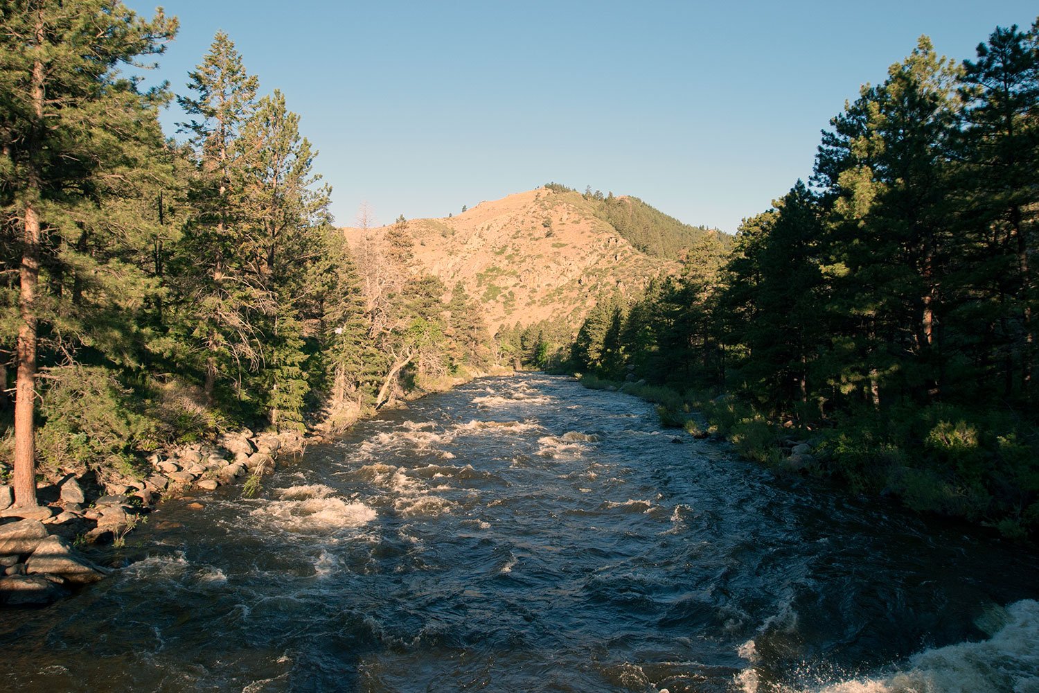
Where a river leaves the mountains, the ground under a building is rarely just dirt. Near Laporte the Cache la Poudre River comes out of the foothills northwest of Fort Collins, and any concrete or utility job here is shaped by gravel, groundwater and the chance of high water. We plan every excavation, footing and pipe run with that river in mind before we ever set stakes.
Laporte is an unincorporated community on the Cache la Poudre River, with US 287 along its northern edge, about 6 miles northwest of Fort Collins and State Highway 14 also listed as a major highway. It sits at 5,109 feet, and the 2020 census counted 2,409 residents. A small community with highway frontage draws light commercial buildings, storage yards, contractor shops and a few farm and equipment pads, which is the scale of work we pour and dig here.
We work for property owners, small commercial developers and the general contractors who build for them, and we explain site conditions in plain terms: what the soil is, where the water goes, what the permit will ask for and what that means for cost.
The Cache la Poudre River is 126 miles long, rises in Rocky Mountain National Park, passes through Poudre Canyon and Fort Collins, and joins the South Platte River about 5 miles east of Greeley. At Laporte it has just left the canyon, so floodplain deposits of sand, gravel and cobble are common. Those soils drain quickly, which helps with trenching, but they can also cave and deliver groundwater that rises with the river.
We begin with test pits or a geotechnical report and a look at the flood mapping for the parcel. A shallow water table may call for groundwater control during excavation and a more careful plan for slab elevations. Where the ground is cobbly, we budget for oversized material and plan for screening or import of clean base.
An 1864 Cache la Poudre River flood destroyed Camp Collins at La Porte, and the city continues to see periodic flooding from the river. Owners here live with that record, and lenders and insurers do too. For us, the lesson is that finished floor elevations, drainage paths and foundation depth are not decorative decisions.
We coordinate with the design engineer on freeboard above the flood elevation, place sleeves and backflow protection on sewer and storm connections, and pour footings to the depth the geotechnical report requires. Our detention and retention pond work addresses runoff so a new impervious surface does not push water onto a neighbor.
Light commercial buildings along a highway corridor need footings, stem walls, a slab and an apron. Contractor yards and storage sites need compacted gravel or concrete surfaces that stand up to trucks and equipment. We pour the building pads and the surrounding concrete paving together, so joint patterns and elevations match and drainage works as a system.
Utilities for a site outside a city can be a long run. Water and sewer may mean wells and septic, or an extension from a district main, and each carries different trench and testing requirements. We install the line, test it and tie it in, coordinating with the district or county for inspection.
Trenches near a river fill fast, and a collapsing wall of saturated gravel is dangerous. We slope or shore every excavation, keep water pumped out, and never leave a crew in a trench that has not been inspected. Daily competent-person checks are part of the routine, not an afterthought.
Highway frontage adds traffic risk. Work near US 287 or State Highway 14 requires traffic control and, for any access work, permission from the highway authority. We build the traffic plan with the property owner and set up signs, cones and flaggers before equipment enters the shoulder.
Groundwater, cobbles and permitting are the main swing items. Pumping adds a daily cost, hauling oversized rock adds trucking, and a floodplain permit adds time. These items belong in the first estimate, and we list them as alternates or allowances when we cannot know them until the ground is open.
Distance matters too. Laporte is about 6 miles from Fort Collins, so ready-mix and pipe suppliers are close, but a single delivery delay still affects a small pour. We build contingency into the schedule for weather and for delivery.
Owners near the river often need more than concrete: grading for a drive, a culvert at a ditch crossing, or erosion control during construction. We coordinate those scopes with the appropriate trade partners. Nearby, Bellvue has a similar mix of canyon and reservoir conditions.
For developers evaluating several parcels, we can provide a short comparison of site conditions and order-of-magnitude costs for each, which helps narrow the field before more engineering money is spent.
Work in or near a floodplain triggers extra review by the county or the city, depending on the parcel. Disturbing an acre or more also calls for a stormwater permit and a plan with silt fence, inlet protection and a stabilized entrance. We build and maintain those controls.
Colorado commercial codes are adopted locally. The energy code must meet state standards under HB22-1362 for any code update after July 1, 2023. We confirm with the county which edition and which requirements apply, and then we lay out footings and slabs to match.
Tell us where the parcel sits relative to the river and what you plan to build. We will review the conditions and give you a plan and a price with the water, soils and permits accounted for.
We check the water table before we start, then use sumps, well points or pumps as needed to keep the excavation dry. Discharge is directed to a controlled location, with sediment control, and we avoid placing concrete in standing water.
It depends on the parcel and the flood map. If any part of the work is in the mapped floodplain, a permit is typically required, along with elevation certificates. We help owners identify the requirement early, so it does not delay the building permit.
Sand, gravel and cobble are common near the river, over bedrock in places. Those soils drain well, but they can be loose and may hold groundwater. A soils report will show what is on your parcel, and we use it to plan the footing depth and subgrade.
Yes. We prepare the subgrade, place a base, form and pour reinforced concrete with joints designed for the traffic, and slope the surface to drain. We discuss thickness with the owner based on the equipment that will use the yard.
We work across the northern Front Range, including foothill communities like Laporte. Distance affects mobilization, so we price it clearly, and we group nearby jobs when possible.